
Aerial Surveys and Mapping
From classified 3D point clouds to detailed orthophotos, imagine mine design informed by accurate stockpile volumes, construction planning guided by detailed utility maps, and road development optimized with precise contour lines.

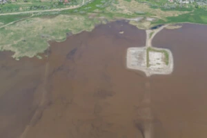
Bathymetric Surveys
Aero Geomatics' expertise in bathymetric surveys provides critical insights for port development, pipeline routing, and environmental monitoring.

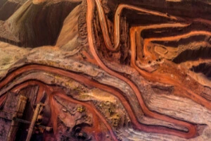
Volumetric Calculations
Aero Geomatics' precise measurements bring stockpiles, tailings dams, and cut-and-fill areas under precise control. Optimize resource allocation, track progress, and mitigate risk
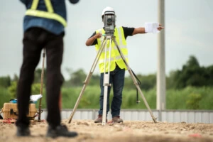
Survey Services
Whether designing a mine or ensuring roads and drainage systems are built to last, Aero Geomatics' comprehensive survey services are your trusted partner.
Photogrammetry
Capture intricate details with precision, creating 3D models that reveal the hidden landscape.
GIS Software
Analyze and visualize data in powerful ways, enabling informed decision-making at every stage.
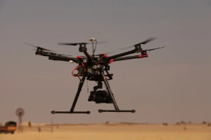
Drone Technology
Access remote or challenging terrain with ease, gathering data with efficiency and safety.
Aero Geomatics doesn't just collect data, we transform it into actionable insights